


x
 EngravingNorthern Renaissance
 1587Early Modern
 29.0 x 52.0 cm
 체스터 비티 라이브러리
빠른 제작과 다양한 마감 옵션을 제공하는 박물관 품질의 지클레이 또는 캔버스 프린트. ( 손으로 그린 그림 구매 이미지 구매)
작품의 원본 비율을 유지하는 미리 설정된 크기 중에서 선택하세요.

특정 프레임이나 공간에 맞춰 직접 치수를 입력하실 수 있습니다. 선택하신 사이즈가 원본 이미지의 비율과 일치하지 않을 경우, 작품을 크롭(자르기)하거나 이미지를 대칭 또는 단색 채우기로 확장하여 제작합니다. 제작 시작 전, 최종 확인을 위해 디지털 목업이 전송됩니다.
화면상의 미리보기는 실제 크롭이나 확장 상태를 반영하지 않으므로, 최종 구도는 오직 목업을 통해서만 정확하게 확인하실 수 있습니다.
맞춤 사이즈 제작도 가능하지만, 원본 비율을 유지하기 위해서는 사전 정의된 목록에서 치수를 선택하시는 것을 권장합니다.

World map (Orbis terrae compendiosa descriptio)
복제본 크기
To gaze upon Rumoldus Mercator’s Orbis terrae compendiosa descriptio is to embark on a voyage through the sixteenth century, a time when the boundaries of the known world were expanding with every maritime expedition. This exquisite hand-colored engraving serves as more than a mere geographical record; it is a breathtaking tapestry of human curiosity and scientific ambition. As a reduced version of his father Gerard Mercator’s monumental work, this piece captures the essence of the Age of Discovery, presenting a dual-hemisphere view that invites the viewer to contemplate the sheer scale and mystery of our planet. The painting radiates an aura of intellectual prestige, making it an unparalleled centerpiece for any collection dedicated to the history of exploration and the beauty of classical cartography.
The composition is a masterclass in intricate detail and balanced grandeur. Dominating the visual field is a magnificent globe that anchors the left side of the work, its surface meticulously etched with the outlines of continents—Europe, Asia, Africa, and the Americas—each territory rendered with a delicate precision that speaks to the era's burgeoning geographical knowledge. In the upper periphery, a secondary globe offers a complementary perspective, creating a rhythmic movement across the canvas. Scattered throughout the composition are smaller, ornamental maps that act like celestial fragments, surrounding the primary hemispheres with a wealth of regional information. This layering of scales creates a profound sense of depth, drawing the eye into a labyrinth of coastlines, mountain ranges, and sea routes.
Technically, the work embodies the pinnacle of Flemish engraving and hand-coloring traditions. The fine, sharp lines characteristic of the Mercator lineage provide a structural clarity that allows even the smallest topographical detail to emerge with startling legibility. When these engravings are brought to life through hand-applied pigments, the map transforms from a scientific document into a vibrant work of art. The subtle washes of color breathe warmth into the oceans and distinction into the landmasses, evoking the weathered beauty of an ancient parchment. For the discerning interior designer, this piece offers a sophisticated texture that complements both classical libraries and modern, minimalist spaces, providing a sense of historical weight and worldly wisdom.
Beyond its geographical utility, the Orbis terrae compendiosa descriptio carries a deep symbolic resonance. It represents the triumph of human intellect over the unknown, a period where the act of mapping was an act of conquest and understanding. The interplay between the large-scale globes and the minute regional maps symbolizes the relationship between the universal and the particular—the grand design of the cosmos versus the intimate details of local existence. Owning or displaying a high-quality reproduction of this masterpiece is not merely about decoration; it is about surrounding oneself with the spirit of discovery, inviting an atmosphere of contemplation, elegance, and timeless intellectual wonder into the home.


1541 - 1599 , Belgium

Elevate your collection with Most-Famous-Paintings.com. Discover the exquisite differences between our hand-painted oil reproductions, archival Giclée canvases, and fine art prints. Expert guidance for discerning collectors seeking museum-quality mastery and bespoke artistry.

Transform cherished memories into timeless heirlooms with Most-Famous-Paintings's bespoke hand-painted oil portraits. Our master artists recreate your family's legacy with museum-quality realism and exquisite texture. Experience luxury, personalized artistry, and a 100% satisfaction guarantee.

최신 미술 뉴스, 특별 혜택 및 인테리어 아이디어를 가장 먼저 만나보세요.
프로젝트에 대해 알려주시면 저희 미술 전문가들이 맞춤형 아트 제안 3가지를 전달해 드립니다.
당신만을 위한 맞춤형 옵션 3가지를 무료로 추천해 드립니다!


 미리보기
미리보기
 공유하기
공유하기 공유하기
공유하기
 상세 정보
상세 정보

 다운로드
다운로드
 유사 작품
유사 작품 X-레이
X-레이 슬라이드 쇼
 더 보기
더 보기
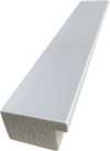
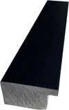
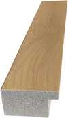
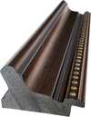
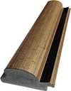
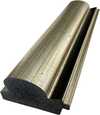
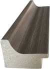
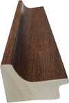
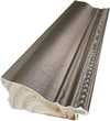
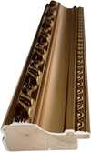
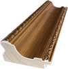
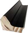


 유리 옵션은 110cm 미만 크기에서만 선택 가능합니다.


