


x
 EngravingNorthern Renaissance
 1587Early Modern
 29.0 x 52.0 cm
 チェスター・ビーティ図書館
迅速な制作と多彩な仕上げオプションを備えた、ミュージアムクオリティのジークレーまたはキャンバスプリント。 ( 手描きの絵画を購入 画像を購入)
作品のオリジナル比率に合わせた、当店の規定サイズからお選びください。

特定のフレームやスペースに合わせて、ご自身でサイズを指定することも可能です。選択されたサイズが元の画像の比率と一致しない場合、作品をトリミングするか、鏡面反射または単色での塗りつぶしによって画像を拡張いたします。制作を開始する前に、ご確認用のデジタルモックアップをお送りいたします。
画面上のプレビューには、実際のトリミングや拡張は反映されませんのでご注意ください。最終的な構図を正確に確認できるのは、モックアップのみとなります。
カスタムサイズも承っておりますが、元の比率を維持するためには、あらかじめ用意されたリストからサイズを選択することをお勧めいたします。

World map (Orbis terrae compendiosa descriptio)
複製画のサイズ
To gaze upon Rumoldus Mercator’s Orbis terrae compendiosa descriptio is to embark on a voyage through the sixteenth century, a time when the boundaries of the known world were expanding with every maritime expedition. This exquisite hand-colored engraving serves as more than a mere geographical record; it is a breathtaking tapestry of human curiosity and scientific ambition. As a reduced version of his father Gerard Mercator’s monumental work, this piece captures the essence of the Age of Discovery, presenting a dual-hemisphere view that invites the viewer to contemplate the sheer scale and mystery of our planet. The painting radiates an aura of intellectual prestige, making it an unparalleled centerpiece for any collection dedicated to the history of exploration and the beauty of classical cartography.
The composition is a masterclass in intricate detail and balanced grandeur. Dominating the visual field is a magnificent globe that anchors the left side of the work, its surface meticulously etched with the outlines of continents—Europe, Asia, Africa, and the Americas—each territory rendered with a delicate precision that speaks to the era's burgeoning geographical knowledge. In the upper periphery, a secondary globe offers a complementary perspective, creating a rhythmic movement across the canvas. Scattered throughout the composition are smaller, ornamental maps that act like celestial fragments, surrounding the primary hemispheres with a wealth of regional information. This layering of scales creates a profound sense of depth, drawing the eye into a labyrinth of coastlines, mountain ranges, and sea routes.
Technically, the work embodies the pinnacle of Flemish engraving and hand-coloring traditions. The fine, sharp lines characteristic of the Mercator lineage provide a structural clarity that allows even the smallest topographical detail to emerge with startling legibility. When these engravings are brought to life through hand-applied pigments, the map transforms from a scientific document into a vibrant work of art. The subtle washes of color breathe warmth into the oceans and distinction into the landmasses, evoking the weathered beauty of an ancient parchment. For the discerning interior designer, this piece offers a sophisticated texture that complements both classical libraries and modern, minimalist spaces, providing a sense of historical weight and worldly wisdom.
Beyond its geographical utility, the Orbis terrae compendiosa descriptio carries a deep symbolic resonance. It represents the triumph of human intellect over the unknown, a period where the act of mapping was an act of conquest and understanding. The interplay between the large-scale globes and the minute regional maps symbolizes the relationship between the universal and the particular—the grand design of the cosmos versus the intimate details of local existence. Owning or displaying a high-quality reproduction of this masterpiece is not merely about decoration; it is about surrounding oneself with the spirit of discovery, inviting an atmosphere of contemplation, elegance, and timeless intellectual wonder into the home.


1541 - 1599 , Belgium

Elevate your collection with Most-Famous-Paintings.com. Discover the exquisite differences between our hand-painted oil reproductions, archival Giclée canvases, and fine art prints. Expert guidance for discerning collectors seeking museum-quality mastery and bespoke artistry.

Transform cherished memories into timeless heirlooms with Most-Famous-Paintings's bespoke hand-painted oil portraits. Our master artists recreate your family's legacy with museum-quality realism and exquisite texture. Experience luxury, personalized artistry, and a 100% satisfaction guarantee.

最新の美術ニュース、限定オファー、そしてインテリアのアイデアをいち早くお届けします。
お客様のプロジェクトについてお聞かせください。当社の美術専門家が、お客様に合わせた3つのパーソナライズされた芸術提案をご提供いたします。
あなたにぴったりの3作品を無料で厳選いたします


 プレビュー
プレビュー
 シェアする
シェアする シェアする
シェアする
 詳細を見る
詳細を見る

 ダウンロード
 似ている作品
 X線調査
X線調査 スライドショー
 詳細を見る
詳細を見る
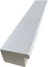
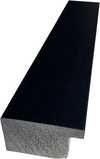
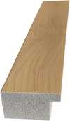
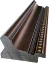
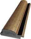
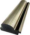
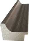
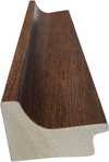
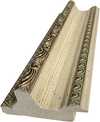
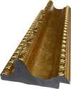
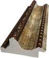
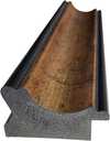
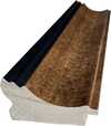
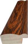
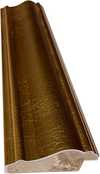
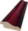
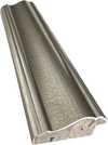
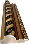
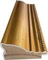
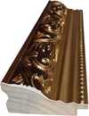
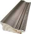
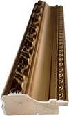
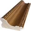
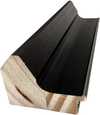
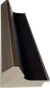
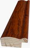
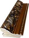
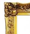
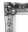
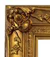


 ガラスオプションは、110cm未満のサイズでのみご利用いただけます。


